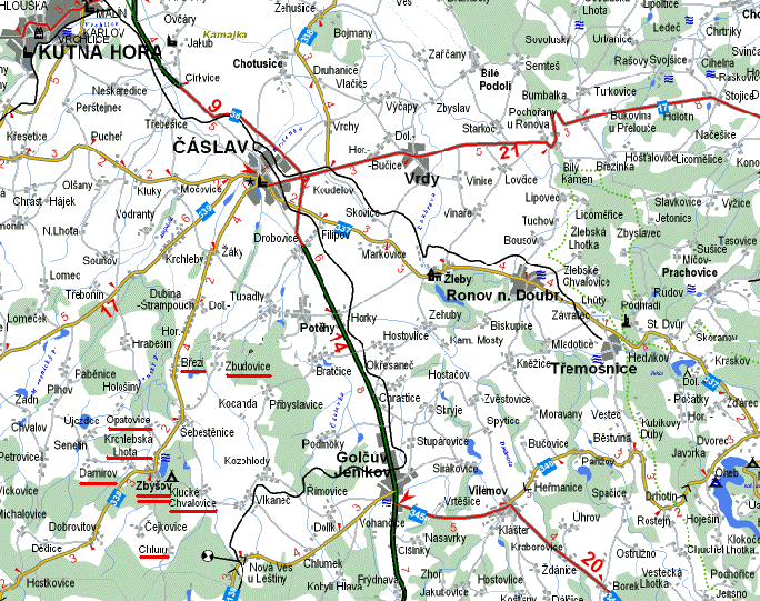
Orientation map of the eastern part of Kutná Hora region and surrounding parts of the Chrudim a Havlíčkův Brod regions
Legends:
thick black-green line - I. class roads, n.38
thick red line - part of road n.38 (around Čáslav); road n.17 from
Čáslav to Chrudim; road n. 345 from Golčuv Jeníkov to
Chotěboř.
thick yellow line- II. class roads
thin grey line - III. class roads
red underlined names of villages are parts of Zbýšov
Municipality.